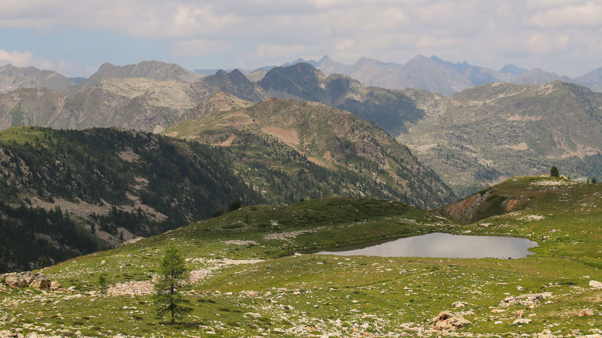
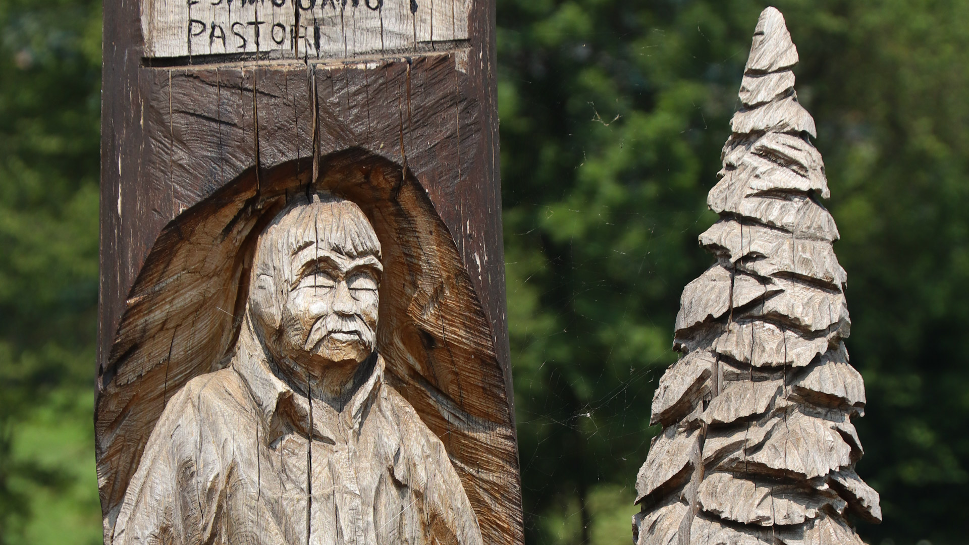
A week in levitation on the most beautiful tracks of the Italian Alps! 3rd part of our Great Alpine Crossing on EMTB, this itinerary begins with the wild Val Maira and an incredible track that winds through the high mountains, at the gates of the "Alpi Marritime" national park, the Italian counterpart of the Mercantour national park. Then come the Ligurian Alps, mountains of Piedmont, with their green valleys and slender peaks. We travel at high altitude on the Haute Route du Sel, the historic route between Piedmont and the Mediterranean Sea, on a beautiful itinerary.
This is the first part of our Great e-mountain bike crossing of the French Alps - the easy way.
The ambition of this new and unique crossing, 100 % made by France Bike Trips, is to make the exceptional panoramas and the incomparable atmosphere of the authentic Alpine landscapes accessible to electric mountain bikes.
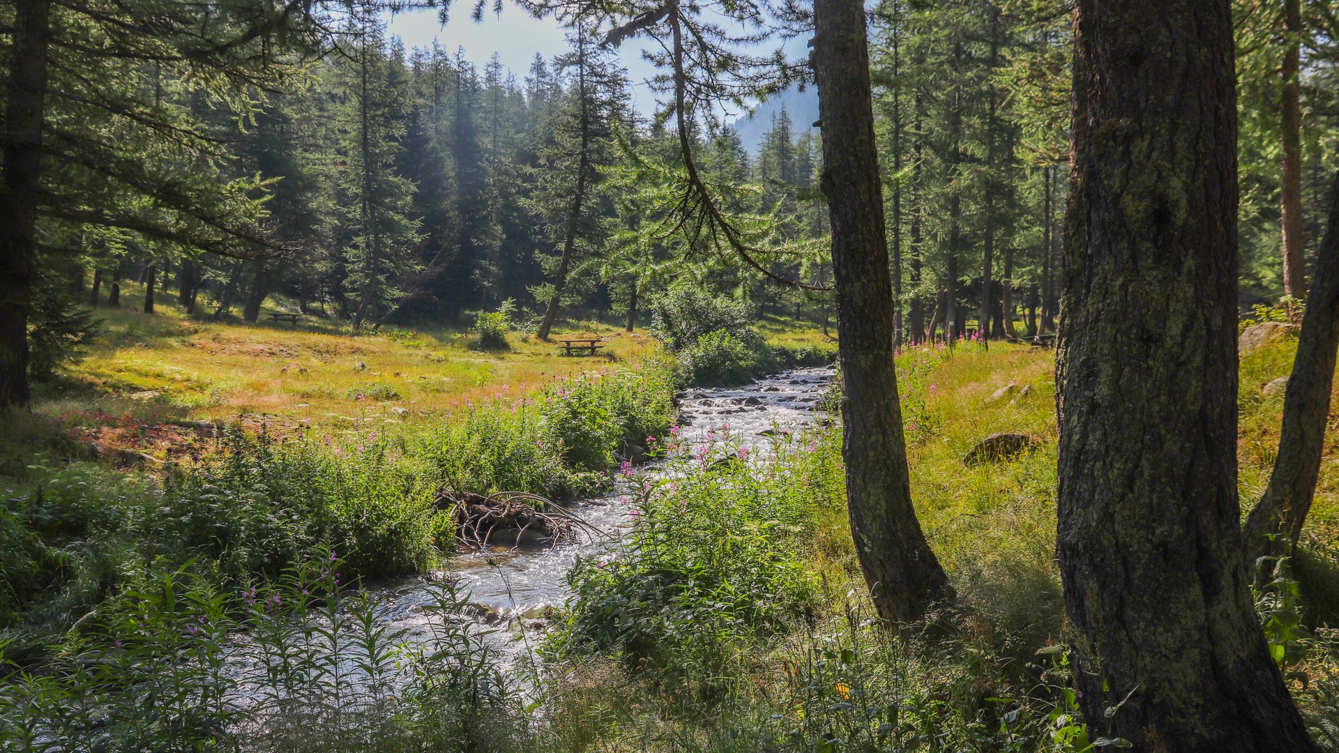
The majority of the route is composed of fire and forest tracks (wide unpaved roads) and small mountain roads. We have also included short sections of singletrack trails without technical difficulty: not too steep, not too stony, no exposed sections. Very few hike-a-bike sections (only 3 or 4 during for this Alpine route!) are nonetheless necessary to pass the "key" sections of this crossing.
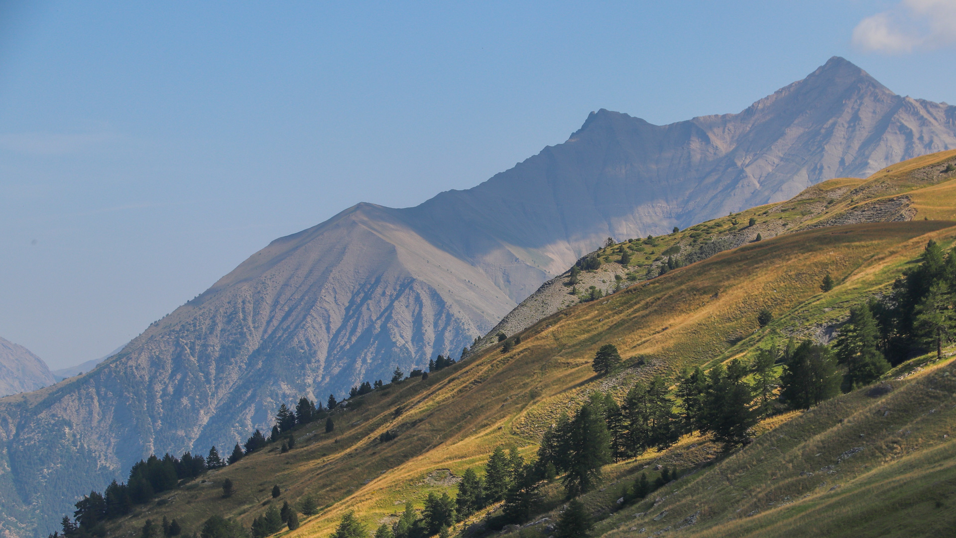
Chablais, Mont Blanc range and Beaufortain: through coniferous forests and mountain pastures, the kingdom of abondance and tarine cows, with the enchanting sound of their bells.
After the great Savoyard valleys of the Tarentaise and the Maurienne, we make our way to the Southern Alps (Queyras) and our Italian neighbours...
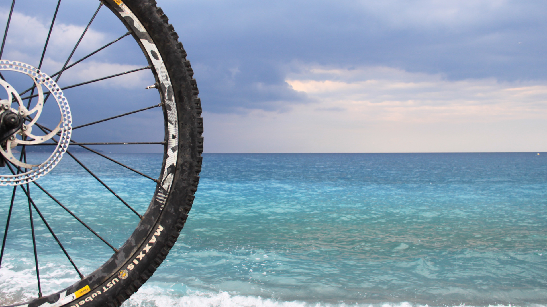
A historic route and a stunning itinerary awaits us that constantly switches between the French-Italian border alonng the Ligurian border crest... until we plunge into the crystalline waters of the French Riviera!
| From 29/06/2026 to 05/07/2026 | 7 days | 1695 € | Confirmed |
| From 17/08/2026 to 23/08/2026 | 7 days | 1695 € | Confirmed |
| From 14/09/2026 to 20/09/2026 | 7 days | 1695 € | Available |
| From 11/10/2026 to 17/10/2026 | 7 days | 1695 € | Available |
You are a group of friends, a family, a company or a cycling club and you would like to organise a private cycling tour on the dates of your choice. This option is available for guided and self-guided tours.
For more information or to receive a quote, please contact us by phone at +33 458 140 435 or by email at info@france-bike-trips.com.
In order to make a booking please fill in the online booking form on the "booking" page of your chosen tour. At the end of the booking process you will be transferred to our bank's secure payment page in order to pay a 30 % deposit.
All self-guided bookings made within 21 days of tour departure will incur a surcharge of 15 € per person.
A dedicated team of travel specialists is available to offer you expert advice Monday to Friday from 9 am to 6 pm (French time) by phone - +33 458 140 435 or by mail - info@france-bike-trips.com.
In order to confirm our guided tours, we need to reach a minimum number of participants (usually 5 persons are necessary). Therefore booking a guided tour does not necessarily mean the tour is confirmed. In the unlikely event that we are unable to confirm your chosen tour, we will offer you the opportunity (no less than 21 days before departure) of switching to another (confirmed) tour, or receiving a full refund.
Self-guided or custom tours: We confirm bookings of self-guided tours and custom tours directly after booking.
In both cases, please await our final booking confirmation before making any travel arrangements.
Tour balance payment must be made no less than 30 days before tour departure. Your travel documents will be sent to you once we have received your balance payment. Road books and maps will be sent to you 3 weeks before departure.
In the event that you are obliged to cancel your tour France Bike Trips will reimburse the entire sum paid for the tour, minus the following cancellation charges:
Full details of our sales conditions are available here
It is important to be correctly insured when embarking on a cycling holiday. We recommend checking the details of your travel insurance (if you have one) and, if necessary, subscribing to our contract below. Please note that France Bike Trips is simply an intermediary between you and the insurance company.
You can choose between these travel insurance contracts while completing your booking form:
Recommendation: |
By plane:
Nice airport: https://www.nice.aeroport.fr/en
Turin airport: https://www.aeroportoditorino.it/it
Airport transfers are available on request. Please contact us for a quote.
By train:
SNCF: www.voyages.sncf.fr
By car:
Route planner: en.mappy.com
Parking: In the event that you travel by car to the meeting point, various parking options will be available.
This circuit has been specifically designed for electric mountain bikes. We have put the emphasis on the variety and playfulness of the route: forest and fire tracks, easy singletrack trails and small rural roads. We have limited hike-a-bike sections to the minimum. Taking maximum pleasure on our tours requires appropriate equipment.
There are many factors that affect battery use. Elevation gain, technical difficulty of the route, type of terrain, weight of the mountain bike + biker combination, ability to ride in "eco" mode, engine power, etc. You should take into account distances and elevation gains indicated in our detailed tour programmes, your data and your experience in order to decide whether it is necessary for you to carry a spare battery in your rucksack.
For information purposes, a 500 Wh battery allows an average weight rider in the "eco" mode (limiting the use of other modes to only a few, particularly steep sections) to ride about 50 km and 1500 m of cumulative elevation gain on a route with a mix of terrains: road, forest tracks and singletrack. Just like on a normal mountain bike, make sure to use low gear ratios (higher pedaling frequency) in the steep parts, rather than using a high gear ratio and compensating with a higher level of electric assistance.
If you sign up for a guided tour, we offer you the opportunity to see if you can carpool with other participants to get to the point of departure. To do this, go to "Car sharing" in our website. By entering the complete reference and the date of departure of the tour (available on the registration confirmation that we have sent you), you have access to route details and emails of other participants who wish to carpool.
For guided trips we limit the size of our groups from 5 (min) to 12 (max) persons in order to ensure security and conviviality.
You will be guided by English-speaking French mountain bike guides.
No size limitation for self-guided groups.
We favour comfortable accommodation with warm hospitality. For more details, please see the "Costs and services" section.
For private groups and self-guided tours it is possible to choose alternative accommodation (upgrade) depending on availability.
"L'art de la table"
We pay very careful attention to the quality and the variety of your meals. Fresh and local produce will be served wherever possible.
During the day you carry only a daypack for additional clothing, water, food, camera, etc. The rest of your baggage is transferred each day to the following nights accommodation.
We strongly recommend having a medical check-up before your holiday.
- A "group" tour: If you join a guided tour, you will be part of a group for several days. This is a superb opportunity to meet new people and share some magical moments. However, a group tour requires that each person show friendliness, openness and mutual respect for their fellow travellers.
- An "adventure" tour: despite the most careful preparation, adventure tours can present unforeseen events. Accepting these risks will help you enjoy your trip to the full, in the knowledge that your guide, our local partners and the entire France Bike Trips team will offer you the most suitable solutions to any given situation.
If you decide to bring your own bike, be aware that transporting a bike by plane or train is no longer an issue. However a few simple guidelines help to optimise the transport and avoid potential damages that could occur.
Your bike must be transported in a designated bike bag (standard size 120x90cm). This maximal size allows you to travel with your bike as "hand luggage" in any TGV and SNCF trains.
It is very important that you protect your bike in the bag. After having deflated the tires, removed the wheels (by removing the quick release mechanisms), pedals and rear derailleur (which is left hanging on the chain), we recommend you wrap your bike inside the bag in a sheet of dense foam (thickness of 3 to 5 cm). A piece of cardboard or rigid plastic positioned between the foam and the inside of the cover can be beneficial to provide more rigidity.
Once folded up the bike bag will take up very little space and will be transported by the assistance vehicle during your tour.
Bike bags are available directly from France Bike Trips at a cost of 70 euros, plus postage.
All your luggage must fit in two bags: a daypack and a travel bag.
This is the bag you will keep with you each day whilst riding. This bag should not be too large (up to 30 litres).
It will contain: a picnic lunch, camera, waterproof, extra clothing, sunglasses...
Each day, your guide will advise you on what to bring in your bag according to the route and the weather.
This is the bag that will be transported from one accommodation to the next by vehicle. It should contain all the belongings you will not use during the day.
Please note: Your luggage transported from one accommodation to the next must fit in a single bag and must not exceed 20kg maximum (or less if stated in the dates & prices tab).
If you rent your MTB from France Bike Trips, this material is not necessary.
Can be booked any time from beginning of April to end of October.
Price per person for a group of:
Single-room supplement will be automatically charged in the case of odd-numbered groups.
If you choose to book a self-guided tour, we provide the GPS tracks of the route. You will be able to download the GPX type files from your France Bike Trips user account once you receive our travel documents by email. They are compatible with all current GPS software applications and editors.
These tracks have been created using professional mapping software. There may be slight differences between the GPS track and the reality on the terrain. The GPS tracks should thus be considered a "plus" to help you find your way. However, they are by no means a substitute for orientation with the help of the highlighted map material.
The distances and altitude gain in the tour's programme remain the reference. Indeed, real-world altitude and mileages can be different and vary significantly from the data shown in GPS software applications.
We ask you not to publish these GPS tracks on any website, social network or anywhere else. Their elaboration required many hours of hard work, both to create the track in the field, but also in our software applications. The non-respect of this ethic would force us to remove these valuable tool from our offer.
We offer digital map material with highlighted tracks for our self-guided tours by default. These are printable (A4, pdf format).
On request, we can provide you with analogue maps containing the highlighted itinerary and route infos (official French maps at a scale of 1:25,000). Shipment will be made to the accommodation of your extra night before the tour.
Price of this option incl. shipping within France: see supplementary services
Please let us know in the booking form if you would like this option. Please also give us an accommodation address for shipping if you do not book an extra night through us before the tour.
In order to achieve the planned tour programme, you must:
Self-guided tours are undertaken without a guide and at your own risk. France Bike Trips cannot be held liable for any route error, misconduct, personal imprudence, inadequate planning or inappropriate reactions in the event of incidents.
Any programme change of your own initiative is under your responsibility and at your expense.
Having said this, with our advice and good preparation, you should be able to look forward to a wonderful, trouble free holiday. Enjoy your trip!
This tour has not yet received any reviews.
Please type in your search terms.
You can prefix chosen words with the '+' sign to make them mandatory, or with the '-' sign to avoid results containing this word from appearing, e.g. west +nepal -canada
A dedicated team of travel specialists is available to offer you expert advice Monday to Friday from 9 to 12:30 AM and 13:30 to 6 PM (French time) on the phone, or by email.
Your email will not be communicated to any third party or company outside France Bike Trips / Velorizons. You may receive occasional emails from France Bike Trips, with the possibility to unsubscribe at any time. CNIL (French National Commission for Data Protection and Liberties)